We picked up the car at the Amsterdam airport and drove to Zandvoort. We didn't do much driving around there, or at least I didn't take any pictures. We left there to take the long way around to Arnhem. I was sick as a dog with some intestinal ailment, but I opted to go that long route anyway. Trout only had to stop a couple of times for me to barf out the open car door.
We drove through lots of reclaimed farm land.
Past some picturesque and typical Dutch canals.

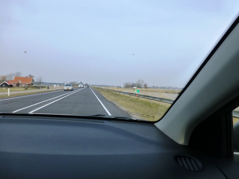
Took some exits similar to this one.

Saw lots of working windmills, wind turbines and canals along the way.


Some inland salt water.

Drove through some fog.

Saw lots of large farm houses or barns like this with traditional thatch on top of slate.

Saw some rough water.

Didn't realize we were so close to the Rio Grande Valley in Texas. (Harlingen is a town on the border with Mexico in far south Texas.)

Enjoyed some of the fun town names. We did go through Sneek.

Saw nice bridges.

And entrances to major highways that we sometimes took and sometimes didn't. The symbolic sign on the left here indicates a divided freeway. The A7 is the Dutch number. The E22 is the European number. The E numbers carry through several countries.

I think this must've been a fresh water canal of some sort for this field.

Trout loved this bridge. Most of the major roads that aren't divided highways had this green stripe in the middle. No crossing that stripe!

It went over a tidal river.

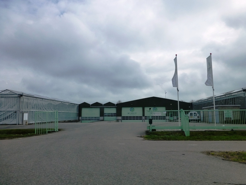
These factories look like they are in the middle of nowhere, but the country is so small that the drives are short. I'd guess there is public transportation to them, too.


We made it to Arnhem okay. We were there until April 12th. Then we took off for Bruges, Belgium. It was raining.

I don't know if this was an optical illusion, but the windshield wiper on my side of the car sure looked like it curved.


The Dutch roads were great and in great condition. The minute we crossed the border, the Belgian roads were rough. Having said that, even though they weren't as good as the Dutch ones, they were still much better than most of the roads we drive on here in the U.S.


Trout and I have seen these wind turbine parts being moved around on our U.S. trips, especially in Texas. This one deserved a photo, too.

I think this minimum distance between trucks thing was the first I had ever seen anywhere.


This is a wind turbine base.

We had to go through the middle of Antwerp on our route, so the traffic picked up.


The circled 50s are the km limit for each lane. Who knew Hoboken is also a Flemish/Dutch name?

The vestiges of respect for President Kennedy are present all over Europe.

This is inside the tunnel named for him. Tunnels like this are everywhere in the Benelux countries. Almost all go under water.

And it was time to turn off for Bruges.

After a delightful week in Bruges, it was time to head back to the Netherlands, Leiden to be specific. Part of the route was backtracking.

I did manage to get a shot of a wind turbine top this time.

Another tunnel.

And another bridge. I think the structures on the left are spillways.

More water.

Some salt water farming.

Some sand and scrub.


Rural traffic.

And we're back in the Netherlands.


They don't want you to work on your broken down car in the road and block traffic. We saw these pull outs very frequently along this particular road.

More water and marsh.

Coming back into a more populated areas. By the way, the Netherlands has the highest population density of any European country.


We had to go around part of Rotterdam. It is the largest port in Europe. There were lots of cars here waiting to go somewhere else.

There's also a major petroleum refinery. For those of you unfamiliar with refineries, there are some flames at the tops of some pipes. Click on the pictures to see them larger and maybe see some of the flames.


And the traffic increases.

Note the factory symbols on the sign. We're through Rotterdam now and back on a small road.

The same symbol is used regardless of the factory. Even if it is a greenhouse.
The Dutch experienced such starvation toward the end of WWII, that the generation of people who went through puberty at that time didn't grow as they should have. They are consistently short in a country that has the tallest people in the world.
After that experience, the country decided that it wanted to be self-sufficient for its food supply. The answer for that is greenhouses, and lots of them. They're not for flowers. They are for veggies. They covered many kilometers along this road. We couldn't tell how far away from the road they went.


Finally it was time to pull off for Leiden. I love this picture with a working windmill and wind turbines and traffic and signs. Here in the U.S. we think we have to have gigantic wind farms far away from the centers of population and spend lots of money getting the power to the grid from them. In the Netherlands, as well as other places in Europe, it's far more common to see a few at a time, like this.

I hope you enjoyed this little drive around the Netherlands and Belgium. Sometimes a car is required for practical purposes. Renting a car on this trip was both a practical and a fun thing.